 vesseltracker.com
Find the position of the vessel Tanta T on the map. The latter are known coordinates and path.
marine traffic ship tracker show on live map
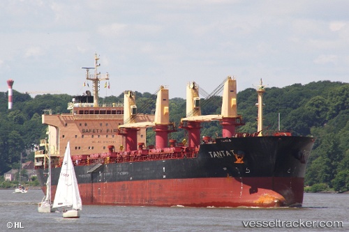
The current position of vessel Tanta T is -16.8067 lat / -36.145 lng. Updated: 2024-04-29 22:37:43 UTCCurrently sailing under the flag of Marshall Is
Tanta T built in 2011 year
Port of registry:
Majuro (coral atoll, capital of the Marshall Islands)Deadweight:
32500 tService entry:
2011-01-01T00:00:00ZDetails:
Last coordinates of the vessel:
UTC, -17.4317, -36.4517, course: -1, speed: 12UTC, -17.1783, -36.3217, course: -1, speed: 11
UTC, -17.0621, -36.2671, course: 27, speed: 11.8
2024-04-29 22:37:43 UTC, -16.8067, -36.145, course: -1, speed: 11