 vesseltracker.com
Find the position of the vessel TINA S on the map. The latter are known coordinates and path.
marine traffic ship tracker show on live map
The current position of vessel TINA S is 70.3564 lat / 32.7541 lng. Updated: 2024-04-28 19:29:22 UTCCurrently sailing under the flag of Liberia
TINA S built in 2011 year
Port of registry:
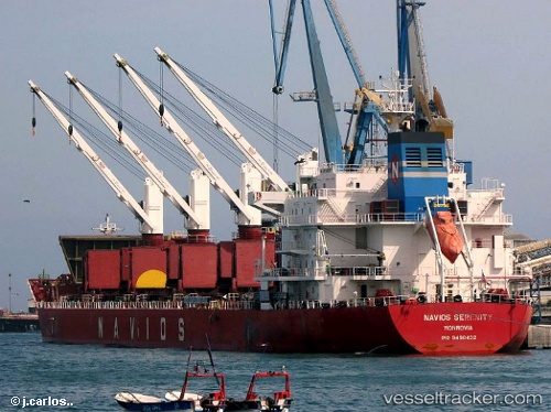
Monrovia (capital city of Liberia)Deadweight:
34690 tGross tonnage:
23448Service entry:
2011-01-01T00:00:00ZManufacturer:
SPP Shipbuilding Co., Ltd. (shipyard)Details:
Last coordinates of the vessel:
UTC, 69.774, 33.5936, course: 354, speed: 11.6UTC, 69.8122, 33.6005, course: 1, speed: 11.7
UTC, 70.1952, 33.0567, course: 327, speed: 11.9
2024-04-28 19:29:22 UTC, 70.3564, 32.7541, course: 327, speed: 12
The ship also appears on the maps: