 vesseltracker.com
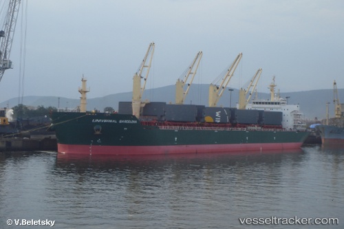
Find the position of the vessel GRUAUD LAROSE on the map. The latter are known coordinates and path.
marine traffic ship tracker show on live map
The current position of vessel GRUAUD LAROSE is 20.7667 lat / 87.2783 lng. Updated: 2024-05-06 09:36:23 UTCPort of registry:
Valletta (capital of Malta)Payload_mass:
56728.8 tonneGross tonnage:
33042Service entry:
2011-01-01T00:00:00ZManufacturer:
Qingshan ShipyardDetails:
Last coordinates of the vessel:
UTC, 20.7667, 87.2783, course: -1, speed: 7UTC, 20.7667, 87.2783, course: -1, speed: 7
UTC, 20.7667, 87.2783, course: -1, speed: 7
2024-05-06 09:36:23 UTC, 20.7667, 87.2783, course: -1, speed: 7