 vesseltracker.com
Find the position of the vessel '636020572' on the map. The latter are known coordinates and path.
marine traffic ship tracker show on live map
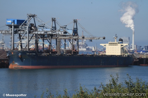
The current position of vessel '636020572' is 36.4123 lat / 18.2042 lng. Updated: 2024-04-29 17:46:43 UTCPort of registry:
Monrovia (capital city of Liberia)Speed:
15.3 knotPayload_mass:
178977 tonneGross tonnage:
93186Operator:
Zeaborn Ship ManagementService entry:
2010-01-01T00:00:00ZDetails:
Last coordinates of the vessel:
UTC, 36.4057, 18.7404, course: 269, speed: 10.9UTC, 36.4071, 18.6616, course: 269, speed: 10.9
UTC, 36.407, 18.4176, course: 269, speed: 10.9
2024-04-29 17:46:43 UTC, 36.4123, 18.2042, course: 273, speed: 10.7