vessel Deepwater Mykonos IMO: 9516882, Drilling Ship
vesseltracker.com
Vessel Deepwater Mykonos IMO: 9516882, Drilling Ship
MMSI: 636019374 callsign: D5UE9 size: 42x228

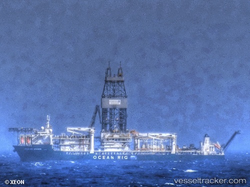
Find the position of the vessel Deepwater Mykonos on the map. The latter are known coordinates and path.

marine traffic ship tracker show on live map

The current position of vessel Deepwater Mykonos is -24.6033 lat / -42.1617 lng. Updated: 2024-05-18 23:28:33 UTC
Payload_mass:
61125 tonne
Gross tonnage:
59610
Service entry:
2011-01-01T00:00:00Z
Details:


Last coordinates of the vessel:
UTC, -24.604, -42.1629, course: 166, speed: 0.1
UTC, -24.6033, -42.1617, course: -1, speed: 0
2024-05-18 23:28:33 UTC, -24.6033, -42.1617, course: -1, speed: 0


Most frequent ports a vessels calls at Deepwater Mykonos (636019374):

Angra Dos Reis, traffic: 10

Link to the map:


Find another ship

Deepwater_Mykonos (636019374) last ports (portcalls and passsages)

Angra Dos Reis | 2023-10-26 15:28:12
Angra Dos Reis | 2023-10-22 14:49:39
Angra Dos Reis | 2023-10-18 14:47:49
Angra Dos Reis | 2023-10-14 14:13:56
Angra Dos Reis | 2023-10-10 12:54:46
Angra Dos Reis | 2023-10-06 12:28:12
Angra Dos Reis | 2023-10-02 11:24:12
Angra Dos Reis | 2023-09-28 11:22:14
Angra Dos Reis | 2023-09-24 10:45:07
Angra Dos Reis | 2023-09-20 10:24:42