 vesseltracker.com
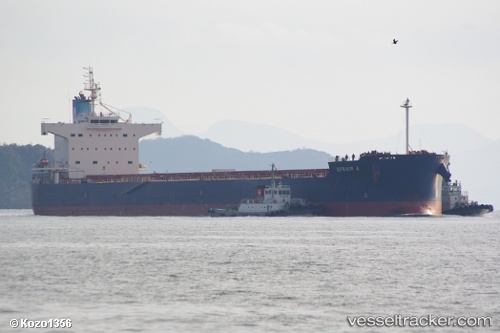
Find the position of the vessel Efraim A on the map. The latter are known coordinates and path.
marine traffic ship tracker show on live map
The current position of vessel Efraim A is -27.505 lat / 42.5283 lng. Updated: 2024-05-02 17:37:05 UTCCurrently sailing under the flag of Cyprus
Efraim A built in 2010 year
Deadweight:
82174 tPayload_mass:
82174 tonneGross tonnage:
43024Service entry:
2010-01-01T00:00:00ZManufacturer:
Tsuneishi ShipbuildingDetails:
Last coordinates of the vessel:
UTC, -27.3219, 43.1563, course: 244, speed: 12.5UTC, -27.3783, 42.9567, course: -1, speed: 12
UTC, -27.4267, 42.775, course: -1, speed: 12
2024-05-02 17:37:05 UTC, -27.505, 42.5283, course: -1, speed: 12