 vesseltracker.com
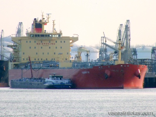
Find the position of the vessel Flagship Ivy on the map. The latter are known coordinates and path.
marine traffic ship tracker show on live map
The current position of vessel Flagship Ivy is 25.8233 lat / 133.127 lng. Updated: 2024-05-06 14:25:04 UTCPort of registry:
Majuro (coral atoll, capital of the Marshall Islands)Payload_mass:
74999 tonneGross tonnage:
42816Service entry:
2011-01-01T00:00:00ZManufacturer:
Hyundai Heavy Industries (company)
Details:
Last coordinates of the vessel:
UTC, 26.3067, 132.813, course: -1, speed: 12UTC, 26.195, 132.889, course: -1, speed: 11.9
UTC, 25.8583, 133.103, course: -1, speed: 12
2024-05-06 14:25:04 UTC, 25.8233, 133.127, course: -1, speed: 12