 vesseltracker.com
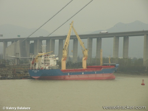
Find the position of the vessel Mare I on the map. The latter are known coordinates and path.
marine traffic ship tracker show on live map
The current position of vessel Mare I is 2.13833 lat / 106.093 lng. Updated: 2024-04-29 04:50:10 UTCCurrently sailing under the flag of Panama
Mare I built in 2009 year
Deadweight:
7608 tPayload_mass:
7851 tonneGross tonnage:
5688Service entry:
2009-01-01T00:00:00ZDetails:
Last coordinates of the vessel:
UTC, 2.035, 105.732, course: -1, speed: 7UTC, 2.065, 105.812, course: -1, speed: 7
UTC, 2.095, 105.928, course: -1, speed: 7
2024-04-29 04:50:10 UTC, 2.13833, 106.093, course: -1, speed: 7