 vesseltracker.com
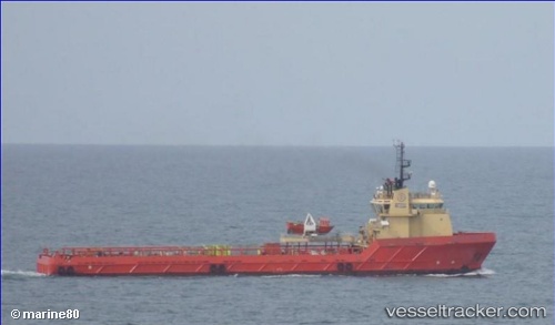
Find the position of the vessel Santos Scout on the map. The latter are known coordinates and path.
marine traffic ship tracker show on live map
The current position of vessel Santos Scout is -23.7007 lat / -42.9954 lng. Updated: 2024-05-04 15:33:58 UTCPayload_mass:
4735 tonneGross tonnage:
3193Service entry:
2010-01-01T00:00:00ZDetails:
Last coordinates of the vessel:
UTC, -23.2672, -43.0789, course: 169, speed: 10.1UTC, -23.5283, -43.0217, course: -1, speed: 9
UTC, -23.6525, -43.0026, course: 168, speed: 10.1
2024-05-04 15:33:58 UTC, -23.7007, -42.9954, course: 169, speed: 10.3