 vesseltracker.com
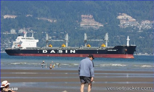
Find the position of the vessel 'MANDARIN RIVER' on the map. The latter are known coordinates and path.
marine traffic ship tracker show on live map
The current position of vessel 'MANDARIN RIVER' is 1.2841 lat / 103.943 lng. Updated: 2024-05-02 17:26:12 UTCPayload_mass:
56774 tonneGross tonnage:
33044Service entry:
2011-01-01T00:00:00ZDetails:
Last coordinates of the vessel:
UTC, 1.28397, 103.943, course: 71, speed: 0UTC, 1.28392, 103.943, course: 65, speed: 0
UTC, 1.28412, 103.943, course: 68, speed: 0
2024-05-02 17:26:12 UTC, 1.2841, 103.943, course: 71, speed: 0