 vesseltracker.com
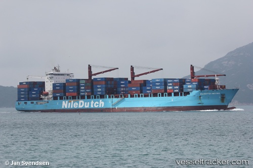
 SAFEEN POWER
Current Status
Where is the vessel?
SAFEEN POWER is currently in 13 nm W of Free Port, based on AIS data received about 1h ago.
Latest AIS update:
Current position: 25.32629° N, 55.02301° E (13 nm W of Free Port)
Average speed (last 7 days): Loading…
Average speed (last 30 days): Loading…
Vessel profile: SAFEEN POWER is a Container Ship with dimensions 228m x 228m.
This page combines live AIS, route history, probable destination signals, nearby traffic, and port activity for practical vessel monitoring.
The current position of vessel SAFEEN POWER is 25.32629 lat / 55.02301 lng. Updated: 2026-03-25 17:41:02 UTCNearest reference points:
- 17 nm NW of Free Port
- Near Free Port
- Near DUBAI
Currently sailing under the flag of Marshall Islands ![]()
SAFEEN POWER built in 2011 year
Deadweight:
46131 tDetails:
Live Vessel SAFEEN POWER Analytics (details, animations, etc.)
Recent AIS points (UTC):
2026-03-25 11:29:10 UTC · 25.32595, 55.02343 · SOG 1.1 kn · COG -1°2026-03-25 14:10:14 UTC · 25.32661, 55.02293 · SOG 0.1 kn · COG -1°
2026-03-25 16:13:59 UTC · 25.32664, 55.02298 · SOG 0 kn · COG -1°
2026-03-25 17:41:02 UTC · 25.32629, 55.02301 · SOG 0 kn · COG -1°