 vesseltracker.com
Find the position of the vessel YANG A on the map. The latter are known coordinates and path.
marine traffic ship tracker show on live map
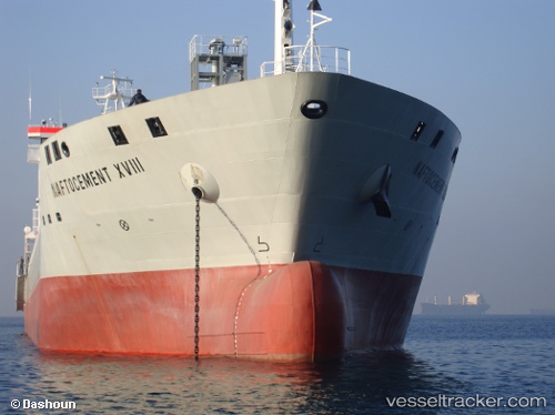
The current position of vessel YANG A is 24.8987 lat / 57.7203 lng. Updated: 2024-04-27 10:59:12 UTCCurrently sailing under the flag of Portugal (MAR)
YANG A built in 2009 year
Deadweight:
15500 tPayload_mass:
15500 tonneGross tonnage:
10055Service entry:
2009-01-01T00:00:00ZDetails:
Last coordinates of the vessel:
UTC, 25.16, 57.4013, course: 128, speed: 9.6UTC, 25.0327, 57.5615, course: 128, speed: 9.5
UTC, 25.0133, 57.5861, course: 129, speed: 9.4
2024-04-27 10:59:12 UTC, 24.8987, 57.7203, course: 133, speed: 9.4