 vesseltracker.com
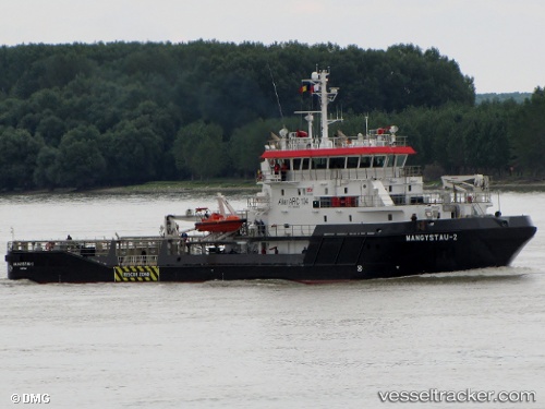
Find the position of the vessel MANGYSTAU 2 on the map. The latter are known coordinates and path.
marine traffic ship tracker show on live map
The current position of vessel MANGYSTAU 2 is 43.2669 lat / -79.7868 lng. Updated: 2024-04-25 15:46:46 UTCCurrently sailing under the flag of Canada
MANGYSTAU 2 built in 2010 year
Deadweight:
743 tDetails:
Last coordinates of the vessel:
UTC, 43.2669, -79.7868, course: 17, speed: 0UTC, 43.2669, -79.7868, course: 17, speed: 0
UTC, 43.2669, -79.7868, course: 17, speed: 0
2024-04-25 15:46:46 UTC, 43.2669, -79.7868, course: 17, speed: 0