 vesseltracker.com
Find the position of the vessel 636093035 on the map. The latter are known coordinates and path.
marine traffic ship tracker show on live map
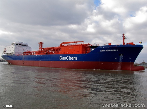
The current position of vessel 636093035 is 36.4029 lat / 123.209 lng. Updated: 2024-05-05 11:25:32 UTCPort of registry:
Monrovia (capital city of Liberia)Payload_mass:
7325 tonneGross tonnage:
5961Service entry:
2011-01-01T00:00:00ZDetails:
Last coordinates of the vessel:
UTC, 36.7099, 123.891, course: 240, speed: 12.4UTC, 36.5307, 123.506, course: 242, speed: 12.5
UTC, 36.4702, 123.367, course: 242, speed: 12.5
2024-05-05 11:25:32 UTC, 36.4029, 123.209, course: 242, speed: 12.3