 vesseltracker.com
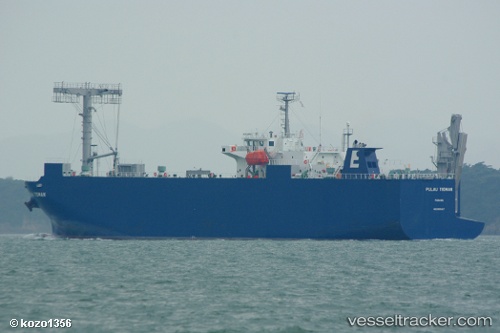
Pulau Tioman
Current StatusWhere is the vessel?
Pulau Tioman is currently in Near DAESAN, based on AIS data received about 2h ago.
Latest AIS update:
Current position: 37.08666° N, 126.21290° E (Near DAESAN)
Average speed (last 7 days): Loading…
Average speed (last 30 days): Loading…
Vessel profile: Pulau Tioman is a Vehicles Carrier with dimensions 20m x 120m.
This page combines live AIS, route history, probable destination signals, nearby traffic, and port activity for practical vessel monitoring.
The current position of vessel Pulau Tioman is 37.08666 lat / 126.21290 lng. Updated: 2026-03-25 17:32:18 UTCNearest reference points:
- Near DAESAN
- 10 nm N of DAESAN
- 14 nm SW of Incheon
Details:
Live Vessel Pulau Tioman Analytics (details, animations, etc.)
Recent AIS points (UTC):
2026-03-25 11:50:17 UTC · 37.08523, 126.21353 · SOG 0.2 kn · COG 351°2026-03-25 13:41:25 UTC · 37.08553, 126.21216 · SOG 0 kn · COG 50°
2026-03-25 15:56:21 UTC · 37.08574, 126.21221 · SOG 0 kn · COG 98°
2026-03-25 17:32:18 UTC · 37.08666, 126.21290 · SOG 0 kn · COG 180°