 vesseltracker.com
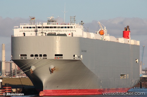
Dalian Highway
Current StatusWhere is the vessel?
Dalian Highway is currently in 36 nm E of Ruby, based on AIS data received about 3h ago.
Latest AIS update:
Current position: 10.41383° N, 109.11425° E (36 nm E of Ruby)
Average speed (last 7 days): Loading…
Average speed (last 30 days): Loading…
Vessel profile: Dalian Highway is a Vehicles Carrier with dimensions 32m x 199m.
This page combines live AIS, route history, probable destination signals, nearby traffic, and port activity for practical vessel monitoring.
The current position of vessel Dalian Highway is 10.41383 lat / 109.11425 lng. Updated: 2026-03-26 03:28:33 UTCNearest reference points:
- Near Rang Dong
- Near Vinh Cam Ranh
- 30 nm NW of Bach Ho
Details:
Live Vessel Dalian Highway Analytics (details, animations, etc.)
Recent AIS points (UTC):
2026-03-25 21:34:16 UTC · 9.58330, 108.26450 · SOG 12 kn · COG 50°2026-03-26 00:21:35 UTC · 9.97579, 108.67390 · SOG 12 kn · COG 54°
2026-03-26 01:24:13 UTC · 10.12405, 108.82626 · SOG 12.5 kn · COG 45°
2026-03-26 03:28:33 UTC · 10.41383, 109.11425 · SOG 11.5 kn · COG 44°