 vesseltracker.com
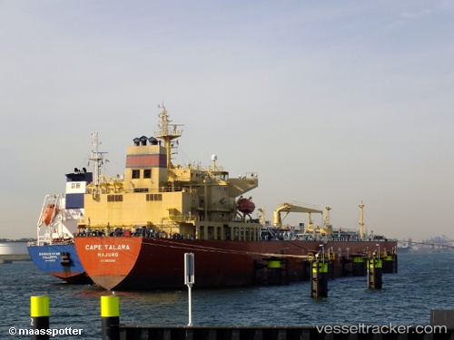
Find the position of the vessel Talara on the map. The latter are known coordinates and path.
marine traffic ship tracker show on live map
The current position of vessel Talara is -22.1917 lat / 12.2733 lng. Updated: 2024-05-04 11:44:55 UTCPort of registry:
Majuro (coral atoll, capital of the Marshall Islands)Payload_mass:
73371 tonneGross tonnage:
42010Operator:
Columbia Shipmanagement Ltd. (shipping company)Service entry:
2010-01-01T00:00:00ZDetails:
Last coordinates of the vessel:
UTC, -21.6889, 12.109, course: 161, speed: 12.7UTC, -21.9472, 12.197, course: 161, speed: 12.4
UTC, -22.0253, 12.221, course: 162, speed: 12.5
2024-05-04 11:44:55 UTC, -22.1917, 12.2733, course: -1, speed: 12