 vesseltracker.com
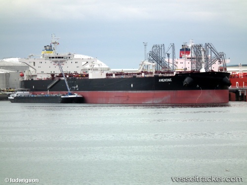
Find the position of the vessel Rio Orinoco on the map. The latter are known coordinates and path.
marine traffic ship tracker show on live map
The current position of vessel Rio Orinoco is 31.5186 lat / -76.2139 lng. Updated: 2024-05-09 00:19:04 UTCPayload_mass:
158589 tonneGross tonnage:
81384Service entry:
2011-01-01T00:00:00ZDetails:
Last coordinates of the vessel:
UTC, 31.5186, -76.2139, course: 1, speed: 19UTC, 31.5186, -76.2139, course: 1, speed: 19
UTC, 31.5186, -76.2139, course: 1, speed: 19
UTC, 31.5186, -76.2139, course: 1, speed: 19
UTC, 31.5186, -76.2139, course: 1, speed: 19
2024-05-09 00:19:04 UTC, 31.5186, -76.2139, course: 1, speed: 19