 vesseltracker.com
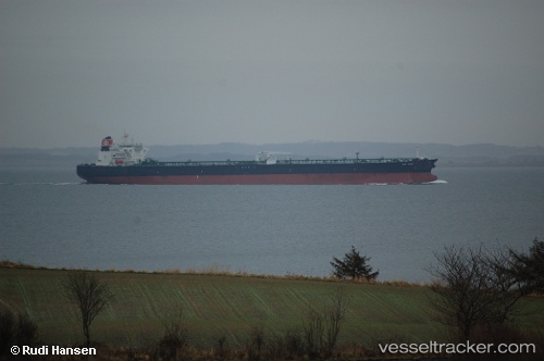
Find the position of the vessel San Saba on the map. The latter are known coordinates and path.
marine traffic ship tracker show on live map
The current position of vessel San Saba is 48.0168 lat / -6.33545 lng. Updated: 2024-05-04 03:11:02 UTCPort of registry:
Majuro (coral atoll, capital of the Marshall Islands)Payload_mass:
159018 tonneGross tonnage:
81346Service entry:
2012-01-01T00:00:00ZManufacturer:
Hyundai Heavy Industries (company)
Details:
Last coordinates of the vessel:
UTC, 47.5906, -6.8913, course: 79, speed: 10.8UTC, 47.6007, -6.83342, course: 71, speed: 11.4
UTC, 47.8462, -6.46828, course: 15, speed: 11.4
2024-05-04 03:11:02 UTC, 48.0168, -6.33545, course: 40, speed: 11.4