 vesseltracker.com
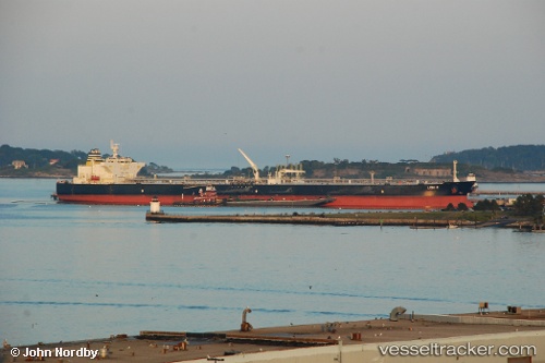
Find the position of the vessel Leni P on the map. The latter are known coordinates and path.
marine traffic ship tracker show on live map
The current position of vessel Leni P is 21.0882 lat / -18.9698 lng. Updated: 2024-05-04 20:12:37 UTCCurrently sailing under the flag of Marshall Is
Leni P built in 2011 year
Port of registry:
Majuro (coral atoll, capital of the Marshall Islands)Deadweight:
158640 tGross tonnage:
81509Service entry:
2011-01-01T00:00:00ZManufacturer:
Samsung Heavy Industries (South Korean shipbuilding company)Details:
Last coordinates of the vessel:
UTC, 21.6922, -18.5955, course: 209, speed: 12.3UTC, 21.5855, -18.6595, course: 210, speed: 12.3
UTC, 21.4259, -18.7612, course: 210, speed: 12.4
2024-05-04 20:12:37 UTC, 21.0882, -18.9698, course: 210, speed: 12.4