 vesseltracker.com
Find the position of the vessel PARTNERSHIP on the map. The latter are known coordinates and path.
marine traffic ship tracker show on live map
The current position of vessel PARTNERSHIP is 36.6093 lat / -45.5647 lng. Updated: 2024-05-06 20:41:46 UTCCurrently sailing under the flag of Marshall Islands
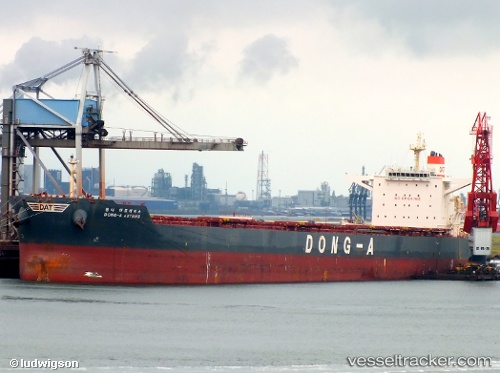
PARTNERSHIP built in 2012 year
Deadweight:
179213 tPayload_mass:
179213 tonneGross tonnage:
93175Service entry:
2012-01-01T00:00:00ZManufacturer:
Hyundai Samho Heavy Industries (company)Details:
Last coordinates of the vessel:
UTC, 36.4303, -45.8859, course: 57, speed: 5.9UTC, 36.4633, -45.825, course: -1, speed: 7
UTC, 36.515, -45.7367, course: -1, speed: 8
2024-05-06 20:41:46 UTC, 36.6093, -45.5647, course: 53, speed: 7.9