 vesseltracker.com
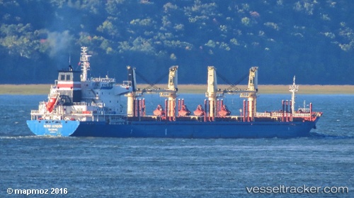
Find the position of the vessel Nestor I on the map. The latter are known coordinates and path.
marine traffic ship tracker show on live map
The current position of vessel Nestor I is 15.1233 lat / -22.7233 lng. Updated: 2024-05-05 10:55:38 UTCCurrently sailing under the flag of Liberia
Nestor I built in 2011 year
Deadweight:
32312 tPayload_mass:
32312 tonneGross tonnage:
20969Service entry:
2011-01-01T00:00:00ZDetails:
Last coordinates of the vessel:
UTC, 14.6421, -23.0456, course: 34, speed: 10.3UTC, 14.7159, -22.9931, course: 35, speed: 10.7
UTC, 14.797, -22.9407, course: 31, speed: 10.8
2024-05-05 10:55:38 UTC, 15.1233, -22.7233, course: -1, speed: 10