 vesseltracker.com
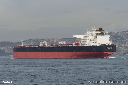
Find the position of the vessel NANTUCKET on the map. The latter are known coordinates and path.
marine traffic ship tracker show on live map
The current position of vessel NANTUCKET is 18.6274 lat / -93.1862 lng. Updated: 2024-05-05 18:18:20 UTCCurrently sailing under the flag of Liberia
NANTUCKET built in 2014 year
Port of registry:
Valletta (capital of Malta)Deadweight:
156902 tPayload_mass:
156902 tonneGross tonnage:
82043Service entry:
2014-01-01T00:00:00ZManufacturer:
Details:
Last coordinates of the vessel:
UTC, 18.6299, -93.1924, course: 115, speed: 3.8UTC, 18.6267, -93.1867, course: -1, speed: 1
UTC, 18.6267, -93.185, course: -1, speed: 0
2024-05-05 18:18:20 UTC, 18.6274, -93.1862, course: 90, speed: 0.1