 vesseltracker.com
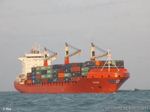
Find the position of the vessel Balao on the map. The latter are known coordinates and path.
marine traffic ship tracker show on live map
The current position of vessel Balao is 12.4463 lat / 46.5755 lng. Updated: 2024-05-08 03:08:32 UTCPort of registry:
Majuro (coral atoll, capital of the Marshall Islands)Gross tonnage:
26412Service entry:
2013-01-01T00:00:00ZManufacturer:
Jiangsu Yangzijiang Shipbuilding Co.,Ltd. (Chinese shipbuilding company)Details:
Last coordinates of the vessel:
UTC, 12.6283, 47.185, course: -1, speed: 13UTC, 12.5183, 46.8067, course: -1, speed: 12
UTC, 12.4463, 46.5755, course: 257, speed: 13.1
2024-05-08 03:08:32 UTC, 12.4463, 46.5755, course: 257, speed: 13.1