 vesseltracker.com
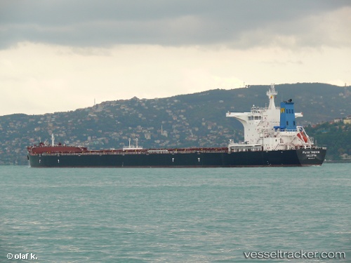
Find the position of the vessel Flag Thenia on the map. The latter are known coordinates and path.
marine traffic ship tracker show on live map
The current position of vessel Flag Thenia is -2.31333 lat / 142.158 lng. Updated: 2024-05-07 10:37:06 UTCPayload_mass:
176532 tonneGross tonnage:
91374Service entry:
2013-01-01T00:00:00ZDetails:
Last coordinates of the vessel:
UTC, -2.53667, 142.755, course: -1, speed: 12UTC, -2.40167, 142.402, course: -1, speed: 11
UTC, -2.32667, 142.195, course: -1, speed: 11
2024-05-07 10:37:06 UTC, -2.31333, 142.158, course: -1, speed: 11