 vesseltracker.com
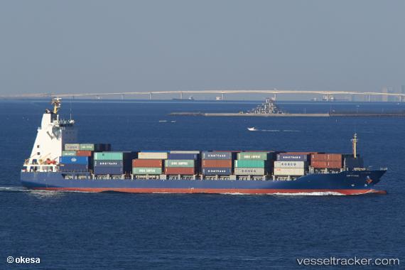
Find the position of the vessel Optima on the map. The latter are known coordinates and path.
marine traffic ship tracker show on live map
The current position of vessel Optima is 35.1013 lat / 129.094 lng. Updated: 2024-05-07 03:12:38 UTCCurrently sailing under the flag of Bahamas
Payload_mass:
12490 tonneGross tonnage:
9963Service entry:
2011-01-01T00:00:00ZDetails:
Last coordinates of the vessel:
UTC, 35.1014, 129.094, course: 354, speed: 0UTC, 35.1014, 129.094, course: 354, speed: 0
UTC, 35.1012, 129.094, course: 354, speed: 0
2024-05-07 03:12:38 UTC, 35.1013, 129.094, course: 354, speed: 0