 vesseltracker.com
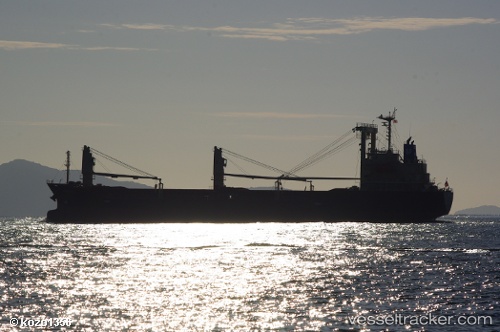
Find the position of the vessel Hayabusa on the map. The latter are known coordinates and path.
marine traffic ship tracker show on live map
The current position of vessel Hayabusa is 35.9468 lat / 133.577 lng. Updated: 2024-05-05 11:43:32 UTCCurrently sailing under the flag of Panama
Payload_mass:
11415 tonneGross tonnage:
7170Service entry:
2012-01-01T00:00:00ZDetails:
Last coordinates of the vessel:
UTC, 35.8739, 133.426, course: 57, speed: 11.9UTC, 35.8806, 133.439, course: 57, speed: 11.8
UTC, 35.8853, 133.448, course: 59, speed: 11.7
2024-05-05 11:43:32 UTC, 35.9468, 133.577, course: 61, speed: 11.5