 vesseltracker.com
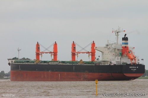
Find the position of the vessel Georgia M on the map. The latter are known coordinates and path.
marine traffic ship tracker show on live map
The current position of vessel Georgia M is 26.8872 lat / 52.7461 lng. Updated: 2024-05-03 02:02:49 UTCCurrently sailing under the flag of Marshall Is
Georgia M built in 2012 year
Deadweight:
58666 tPayload_mass:
58666 tonneGross tonnage:
33129Service entry:
2012-01-01T00:00:00ZDetails:
Last coordinates of the vessel:
UTC, 26.585, 53.505, course: -1, speed: 11UTC, 26.685, 53.2517, course: -1, speed: 12
UTC, 26.7421, 53.1152, course: 293, speed: 12.4
2024-05-03 02:02:49 UTC, 26.8872, 52.7461, course: 293, speed: 12.5