 vesseltracker.com
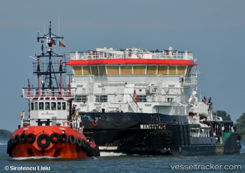
Find the position of the vessel Mangystau 5 on the map. The latter are known coordinates and path.
marine traffic ship tracker show on live map
The current position of vessel Mangystau 5 is 46.4415 lat / 52.2651 lng. Updated: 2024-05-06 04:41:33 UTCDetails:
Last coordinates of the vessel:
UTC, 46.4415, 52.2651, course: 184, speed: 0UTC, 46.4415, 52.2651, course: 184, speed: 0
UTC, 46.4415, 52.2651, course: 184, speed: 0
2024-05-06 04:41:33 UTC, 46.4415, 52.2651, course: 184, speed: 0