 vesseltracker.com
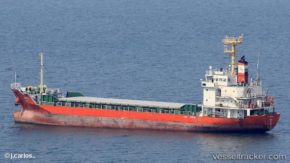
Find the position of the vessel Kara on the map. The latter are known coordinates and path.
marine traffic ship tracker show on live map
The current position of vessel Kara is 35.9909 lat / 140.793 lng. Updated: 2024-05-05 21:24:14 UTCCurrently sailing under the flag of Korea
Payload_mass:
3423 tonneGross tonnage:
2238Service entry:
2012-01-01T00:00:00ZDetails:
Last coordinates of the vessel:
UTC, 35.9909, 140.794, course: 183, speed: 0.3UTC, 35.9909, 140.794, course: 183, speed: 0.3
UTC, 35.9909, 140.794, course: 183, speed: 0.3
2024-05-05 21:24:14 UTC, 35.9909, 140.793, course: 177, speed: 0.3