 vesseltracker.com
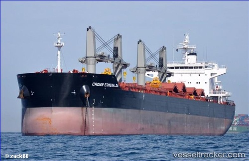
Find the position of the vessel Darleakay on the map. The latter are known coordinates and path.
marine traffic ship tracker show on live map
The current position of vessel Darleakay is 27.6215 lat / -83.0243 lng. Updated: 2024-05-04 23:31:09 UTCPort of registry:
Majuro (coral atoll, capital of the Marshall Islands)Service entry:
2012-01-01T00:00:00ZManufacturer:
Yangzhou Binjiang Shipbuilding (chinese shipyard)Details:
Last coordinates of the vessel:
UTC, 27.6227, -83.0245, course: 220, speed: 0.1UTC, 27.6225, -83.0244, course: 234, speed: 0.1
UTC, 27.6225, -83.0243, course: 235, speed: 0.1
2024-05-04 23:31:09 UTC, 27.6215, -83.0243, course: 271, speed: 0.1