 vesseltracker.com
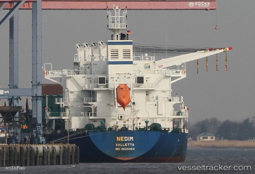
 NEGMAR YAKO I
Current Status
Where is the vessel?
NEGMAR YAKO I is currently in Near Port Everglades, based on AIS data received about 2h ago.
Latest AIS update:
Current position: 26.09056° N, 80.12228° W (Near Port Everglades)
Average speed (last 7 days): Loading…
Average speed (last 30 days): Loading…
Vessel profile: NEGMAR YAKO I is a Cargo with dimensions m x m.
This page combines live AIS, route history, probable destination signals, nearby traffic, and port activity for practical vessel monitoring.
The current position of vessel NEGMAR YAKO I is 26.09056 lat / -80.12228 lng. Updated: 2026-03-25 23:22:26 UTCNearest reference points:
- Near Port Everglades
- Near Fort Lauderdale
- Near Dania Beach
Currently sailing under the flag of Marshall Islands ![]()
Details:
Live Vessel NEGMAR YAKO I Analytics (details, animations, etc.)
Recent AIS points (UTC):
2026-03-25 17:46:47 UTC · 26.12966, -80.07030 · SOG 0.2 kn · COG 93°2026-03-25 19:39:34 UTC · 26.12993, -80.06915 · SOG 0.3 kn · COG 110°
2026-03-25 22:01:25 UTC · 26.09063, -80.12224 · SOG 0 kn · COG 270°
2026-03-25 23:22:26 UTC · 26.09056, -80.12228 · SOG 0 kn · COG 270°