 vesseltracker.com
Find the position of the vessel Lena River on the map. The latter are known coordinates and path.
marine traffic ship tracker show on live map
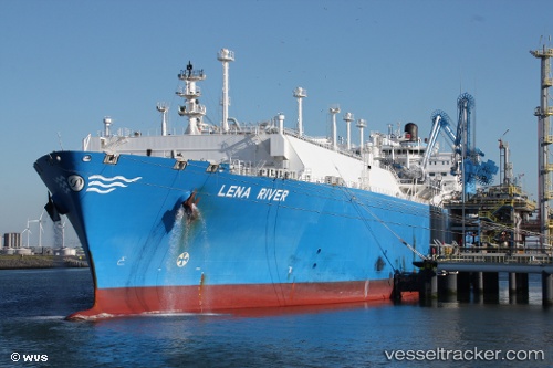
The current position of vessel Lena River is 22.1813 lat / 116.928 lng. Updated: 2024-05-04 01:48:46 UTCPort of registry:
Majuro (coral atoll, capital of the Marshall Islands)Gross tonnage:
100236Service entry:
2013-01-01T00:00:00ZManufacturer:
Hyundai Heavy Industries (company)
Details:
Last coordinates of the vessel:
UTC, 22.1257, 116.843, course: 341, speed: 10.9UTC, 22.1257, 116.843, course: 341, speed: 10.9
UTC, 22.1813, 116.928, course: 28, speed: 8.5
2024-05-04 01:48:46 UTC, 22.1813, 116.928, course: 28, speed: 8.5
The ship also appears on the maps: