 vesseltracker.com
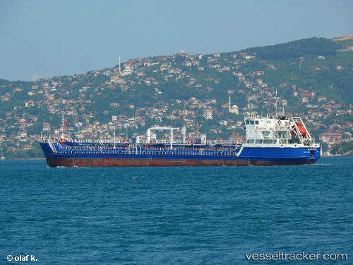
Find the position of the vessel Gloster 1 on the map. The latter are known coordinates and path.
marine traffic ship tracker show on live map
The current position of vessel Gloster 1 is 41.2833 lat / 28.9771 lng. Updated: 2024-05-01 22:20:48 UTCCurrently sailing under the flag of Cook Is
Payload_mass:
4595 tonneGross tonnage:
2980Service entry:
2013-01-01T00:00:00ZManufacturer:
Kherson Shipyard (Ukrainian shipyard)Details:
Last coordinates of the vessel:
UTC, 41.2832, 28.977, course: 329, speed: 0UTC, 41.2835, 28.9772, course: 317, speed: 0
UTC, 41.2835, 28.9772, course: 312, speed: 0.1
2024-05-01 22:20:48 UTC, 41.2833, 28.9771, course: 320, speed: 0