 vesseltracker.com
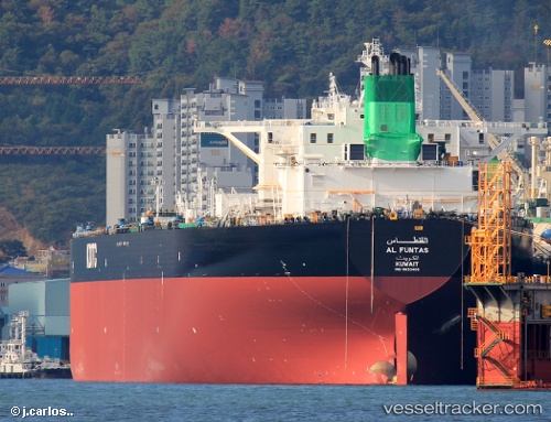
Find the position of the vessel Al Funtas on the map. The latter are known coordinates and path.
marine traffic ship tracker show on live map
The current position of vessel Al Funtas is 25.2559 lat / 56.5773 lng. Updated: 2024-04-29 17:27:08 UTCPort of registry:
Kuwait City (capital of Kuwait)Payload_mass:
316648 tonneGross tonnage:
165178Service entry:
2014-01-01T00:00:00ZManufacturer:
Hanwha Ocean (shipbuilder of South Korea)Details:
Last coordinates of the vessel:
UTC, 25.2516, 56.5759, course: 46, speed: 0.1UTC, 25.2547, 56.5755, course: 124, speed: 0.2
UTC, 25.2557, 56.5767, course: 156, speed: 0
2024-04-29 17:27:08 UTC, 25.2559, 56.5773, course: 168, speed: 0