 vesseltracker.com
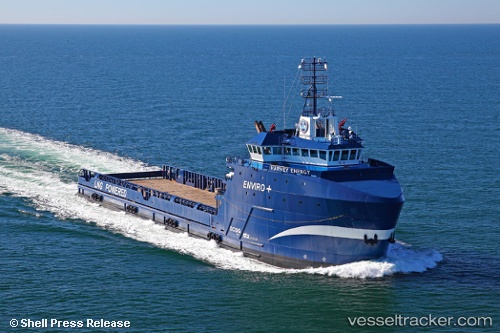
Find the position of the vessel Harvey Energy on the map. The latter are known coordinates and path.
marine traffic ship tracker show on live map
The current position of vessel Harvey Energy is 29.1317 lat / -90.1917 lng. Updated: 2024-05-01 21:38:18 UTCCurrently sailing under the flag of USA
Payload_mass:
5397 tonneGross tonnage:
4458Service entry:
2015-01-01T00:00:00ZDetails:
Last coordinates of the vessel:
UTC, 29.1328, -90.1933, course: 342, speed: 0UTC, 29.1329, -90.1933, course: 342, speed: 0
UTC, 29.1317, -90.1917, course: -1, speed: 0
2024-05-01 21:38:18 UTC, 29.1317, -90.1917, course: -1, speed: 0