 vesseltracker.com
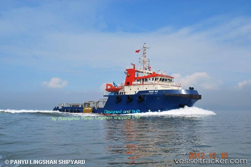
Find the position of the vessel Hadi 42 on the map. The latter are known coordinates and path.
marine traffic ship tracker show on live map
The current position of vessel Hadi 42 is 27.1865 lat / 50.0175 lng. Updated: 2024-05-06 12:13:34 UTCPayload_mass:
1513 tonneGross tonnage:
1405Service entry:
2012-01-01T00:00:00ZDetails:
Last coordinates of the vessel:
UTC, 27.0247, 49.6881, course: 45, speed: 0UTC, 27.0615, 49.7504, course: 25, speed: 8.3
UTC, 27.1213, 49.8562, course: 70, speed: 8.1
2024-05-06 12:13:34 UTC, 27.1865, 50.0175, course: 71, speed: 8.3