 vesseltracker.com
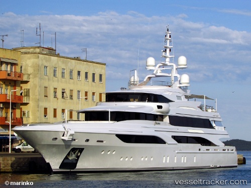
Find the position of the vessel Formosa on the map. The latter are known coordinates and path.
marine traffic ship tracker show on live map
The current position of vessel Formosa is 26.7477 lat / -80.05 lng. Updated: 2024-04-27 04:43:04 UTCPayload_mass:
700 tonneGross tonnage:
1089Service entry:
2015-01-01T00:00:00ZDetails:
Last coordinates of the vessel:
UTC, 26.7477, -80.05, course: 2, speed: 0UTC, 26.7477, -80.05, course: 2, speed: 0
UTC, 26.7477, -80.05, course: 2, speed: 0
2024-04-27 04:43:04 UTC, 26.7477, -80.05, course: 2, speed: 0