 vesseltracker.com
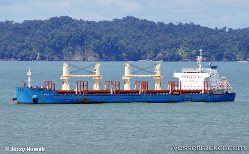
Find the position of the vessel Ben Nevis on the map. The latter are known coordinates and path.
marine traffic ship tracker show on live map
The current position of vessel Ben Nevis is 42.5033 lat / 15.9217 lng. Updated: 2024-05-03 02:37:55 UTCCurrently sailing under the flag of Marshall Is
Port of registry:
Majuro (coral atoll, capital of the Marshall Islands)Payload_mass:
38737 tonneGross tonnage:
24933Service entry:
2014-01-01T00:00:00ZDetails:
Last coordinates of the vessel:
UTC, 42.225, 16.2883, course: -1, speed: 10UTC, 42.225, 16.2883, course: -1, speed: 10
UTC, 42.2917, 16.1933, course: -1, speed: 10
2024-05-03 02:37:55 UTC, 42.5033, 15.9217, course: -1, speed: 11