 vesseltracker.com
Find the position of the vessel Deepwater Pontus on the map. The latter are known coordinates and path.
marine traffic ship tracker show on live map
The current position of vessel Deepwater Pontus is 28.0094 lat / -89.1633 lng. Updated: 2024-04-30 18:36:49 UTCPort of registry:
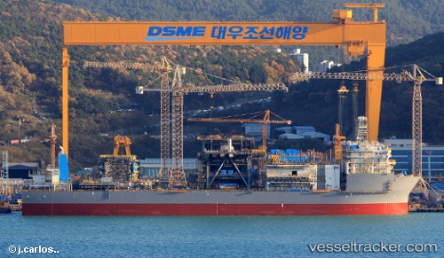
Majuro (coral atoll, capital of the Marshall Islands)Payload_mass:
62449 tonneGross tonnage:
70095Service entry:
2017-01-01T00:00:00ZManufacturer:
Hanwha Ocean (shipbuilder of South Korea)Details:
Last coordinates of the vessel:
UTC, 28.0094, -89.1633, course: 294, speed: 0UTC, 28.0094, -89.1633, course: 294, speed: 0
UTC, 28.0094, -89.1633, course: 294, speed: 0
2024-04-30 18:36:49 UTC, 28.0094, -89.1633, course: 294, speed: 0