 vesseltracker.com
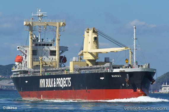
Find the position of the vessel Naniwa on the map. The latter are known coordinates and path.
marine traffic ship tracker show on live map
The current position of vessel Naniwa is 32.0644 lat / 135.839 lng. Updated: 2024-04-29 03:22:19 UTCPayload_mass:
12144 tonneGross tonnage:
9467Service entry:
2013-01-01T00:00:00ZDetails:
Last coordinates of the vessel:
UTC, 32.4364, 136.35, course: 228, speed: 12UTC, 32.256, 136.109, course: 228, speed: 11.1
UTC, 32.0752, 135.853, course: 222, speed: 10.4
2024-04-29 03:22:19 UTC, 32.0644, 135.839, course: 222, speed: 10.3