 vesseltracker.com
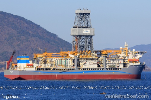
Find the position of the vessel PACIFIC ZONDA on the map. The latter are known coordinates and path.
marine traffic ship tracker show on live map
The current position of vessel PACIFIC ZONDA is 25.0388 lat / 120.099 lng. Updated: 2024-04-21 09:55:18 UTCCurrently sailing under the flag of Marshall Islands
PACIFIC ZONDA built in 2023 year
Deadweight:
58183 tPayload_mass:
60000 tonneGross tonnage:
61184Service entry:
2018-01-01T00:00:00ZDetails:
Last coordinates of the vessel:
UTC, 25.0388, 120.099, course: 51, speed: 16.8UTC, 25.0388, 120.099, course: 51, speed: 16.8
UTC, 25.0388, 120.099, course: 51, speed: 16.8
UTC, 25.0388, 120.099, course: 51, speed: 16.8
2024-04-21 09:55:18 UTC, 25.0388, 120.099, course: 51, speed: 16.8