 vesseltracker.com
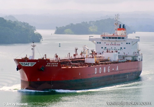
 OCIOS IOANNIS
Current Status
Where is the vessel?
OCIOS IOANNIS is currently in Near Fort Buchanan, based on AIS data received about 2h ago.
Latest AIS update:
Current position: 18.43012° N, 66.11026° W (Near Fort Buchanan)
Average speed (last 7 days): Loading…
Average speed (last 30 days): Loading…
Vessel profile: OCIOS IOANNIS is a Tanker with dimensions m x m.
This page combines live AIS, route history, probable destination signals, nearby traffic, and port activity for practical vessel monitoring.
The current position of vessel OCIOS IOANNIS is 18.43012 lat / -66.11026 lng. Updated: 2026-03-25 17:56:01 UTCNearest reference points:
- Near San Juan
- Near Roosevelt Roads
- Near Isabel Segunda
Currently sailing under the flag of Liberia ![]()
Details:
Live Vessel OCIOS IOANNIS Analytics (details, animations, etc.)
Recent AIS points (UTC):
2026-03-25 12:02:02 UTC · 18.43010, -66.11022 · SOG 0 kn · COG 181°2026-03-25 14:17:02 UTC · 18.43013, -66.11026 · SOG 0.1 kn · COG 181°
2026-03-25 15:29:01 UTC · 18.43011, -66.11021 · SOG 0 kn · COG 181°
2026-03-25 17:56:01 UTC · 18.43012, -66.11026 · SOG 0 kn · COG 181°