 vesseltracker.com
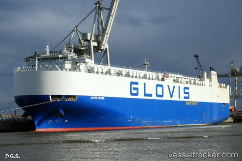
Find the position of the vessel Glovis Crown on the map. The latter are known coordinates and path.
marine traffic ship tracker show on live map
The current position of vessel Glovis Crown is -12.7081 lat / 152.426 lng. Updated: 2024-04-29 22:28:35 UTCPort of registry:
Majuro (coral atoll, capital of the Marshall Islands)Speed:
18 knotPayload_mass:
20019 tonneGross tonnage:
59968Service entry:
2014-01-01T00:00:00ZManufacturer:
Hyundai Samho Heavy Industries (company)Details:
Last coordinates of the vessel:
UTC, -13.3425, 152.536, course: 350, speed: 14.3UTC, -13.0345, 152.482, course: 350, speed: 14.5
UTC, -12.7317, 152.43, course: 350, speed: 14.6
2024-04-29 22:28:35 UTC, -12.7081, 152.426, course: 349, speed: 14.5