 vesseltracker.com
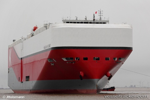
Find the position of the vessel Hawaiian Highway on the map. The latter are known coordinates and path.
marine traffic ship tracker show on live map
The current position of vessel Hawaiian Highway is 31.1922 lat / 132.794 lng. Updated: 2025-06-30 23:16:00 UTCPort of registry:
Majuro (capital of the Marshall Islands)Payload_mass:
20606 tonneGross tonnage:
75126Service entry:
2015-01-01T00:00:00ZManufacturer:
Shin Kurushima Dockyard (Japanese shipbuilding company)
Details:
Last coordinates of the vessel:
UTC, 31.0093, 132.154, course: 86, speed: 11.5UTC, 31.0314, 132.344, course: 86, speed: 11.1
UTC, 31.0761, 132.562, course: 66, speed: 11.4
2025-06-30 23:16:00 UTC, 31.1922, 132.794, course: 66, speed: 11.6