 vesseltracker.com
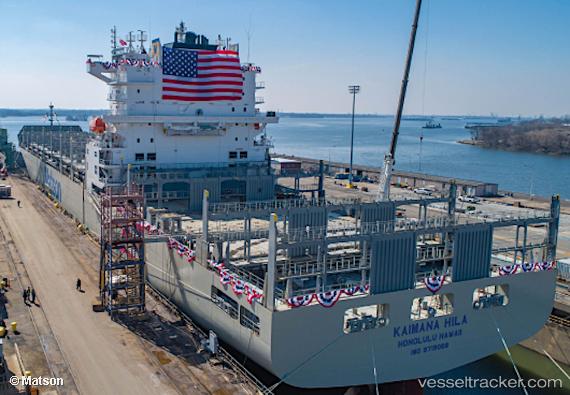
 Kaimana Hila
Current Status
Where is the vessel?
Kaimana Hila is currently in 86 nm SW of Santa Rosa Island, based on AIS data received about 1h ago.
Latest AIS update:
Current position: 32.71704° N, 120.97230° W (86 nm SW of Santa Rosa Island)
Average speed (last 7 days): Loading…
Average speed (last 30 days): Loading…
Vessel profile: Kaimana Hila is a Container Ship with dimensions 260m x 35m.
This page combines live AIS, route history, probable destination signals, nearby traffic, and port activity for practical vessel monitoring.
The current position of vessel Kaimana Hila is 32.71704 lat / -120.97230 lng. Updated: 2026-03-25 21:50:28 UTCNearest reference points:
- Near Santa Barbara
- Near CHANNEL ISLANDS
- Near Hueneme
Currently sailing under the flag of USA ![]()
Details:
Live Vessel Kaimana Hila Analytics (details, animations, etc.)
Recent AIS points (UTC):
2026-03-25 15:23:57 UTC · 33.27732, -119.14378 · SOG 14.2 kn · COG 241°2026-03-25 17:31:51 UTC · 33.08223, -119.71431 · SOG 14.8 kn · COG 252°
2026-03-25 19:31:16 UTC · 32.93392, -120.24090 · SOG 15 kn · COG 251°
2026-03-25 21:50:28 UTC · 32.71704, -120.97230 · SOG 14.9 kn · COG 250°