 vesseltracker.com
Find the position of the vessel POINTIS on the map. The latter are known coordinates and path.
marine traffic ship tracker show on live map
The current position of vessel POINTIS is 30.0106 lat / -93.9935 lng. Updated: 2024-05-14 23:19:03 UTCCurrently sailing under the flag of Liberia
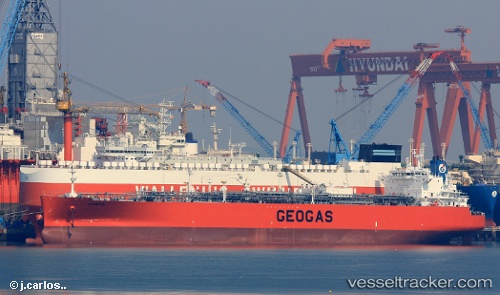
POINTIS built in 2016 year
Port of registry:
Marseilles (village in Wyandot County, Ohio, United States)Deadweight:
53991 tPayload_mass:
53991 tonneGross tonnage:
47791Service entry:
2016-01-01T00:00:00ZManufacturer:
Hyundai Samho Heavy Industries (company)Details:
Last coordinates of the vessel:
UTC, 30.0106, -93.9935, course: 110, speed: 0UTC, 30.0106, -93.9935, course: 110, speed: 0
UTC, 30.0105, -93.9935, course: 110, speed: 0
2024-05-14 23:19:03 UTC, 30.0106, -93.9935, course: 110, speed: 0