 vesseltracker.com
Find the position of the vessel FERNANDO DE NORONHA on the map. The latter are known coordinates and path.
marine traffic ship tracker show on live map
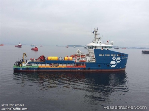
The current position of vessel FERNANDO DE NORONHA is -21.2723 lat / -39.9764 lng. Updated: 2024-04-27 09:31:16 UTCCurrently sailing under the flag of Brazil
FERNANDO DE NORONHA built in 2016 year
Deadweight:
1708 tPayload_mass:
1708 tonneGross tonnage:
1994Service entry:
2016-01-01T00:00:00ZDetails:
Last coordinates of the vessel:
UTC, -21.2668, -39.9755, course: 95, speed: 0.7UTC, -21.2734, -39.9762, course: 85, speed: 0.7
UTC, -21.273, -39.9763, course: 81, speed: 0.7
2024-04-27 09:31:16 UTC, -21.2723, -39.9764, course: 81, speed: 0.4