 vesseltracker.com
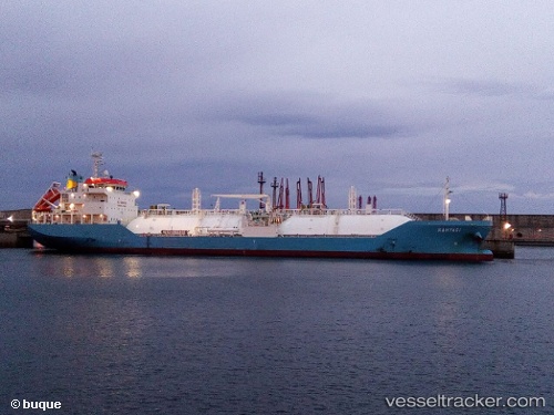
Find the position of the vessel Kahyasi on the map. The latter are known coordinates and path.
marine traffic ship tracker show on live map
The current position of vessel Kahyasi is -33.8967 lat / 25.6733 lng. Updated: 2024-05-07 03:36:12 UTCPort of registry:
Singapore (sovereign island country and city-state in maritime Southeast Asia)Payload_mass:
8102 tonneGross tonnage:
7981Operator:
Anglo Eastern Shipmanagement Pte Ltd.Service entry:
2015-01-01T00:00:00ZManufacturer:
Sasaki ShipbuildingDetails:
Last coordinates of the vessel:
UTC, -33.8977, 25.6733, course: 324, speed: 0.1UTC, -33.8978, 25.6731, course: 329, speed: 0
UTC, -33.8967, 25.6717, course: -1, speed: 0
2024-05-07 03:36:12 UTC, -33.8967, 25.6733, course: -1, speed: 0