 vesseltracker.com
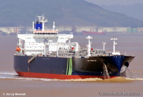
Find the position of the vessel Bw Freyja on the map. The latter are known coordinates and path.
marine traffic ship tracker show on live map
The current position of vessel Bw Freyja is 9.97167 lat / -79.8367 lng. Updated: 2024-04-29 23:51:32 UTCCurrently sailing under the flag of Marshall Is
Port of registry:
Majuro (coral atoll, capital of the Marshall Islands)Payload_mass:
54446 tonneGross tonnage:
47384Operator:
Service entry:
2016-01-01T00:00:00ZManufacturer:
Hyundai Heavy Industries (company)
Details:
Last coordinates of the vessel:
UTC, 10.7217, -79.7967, course: -1, speed: 14UTC, 10.364, -79.8128, course: 183, speed: 15
UTC, 10.1633, -79.825, course: -1, speed: 15
2024-04-29 23:51:32 UTC, 9.97167, -79.8367, course: -1, speed: 15